Unsere 5 Muss-Wanderungen
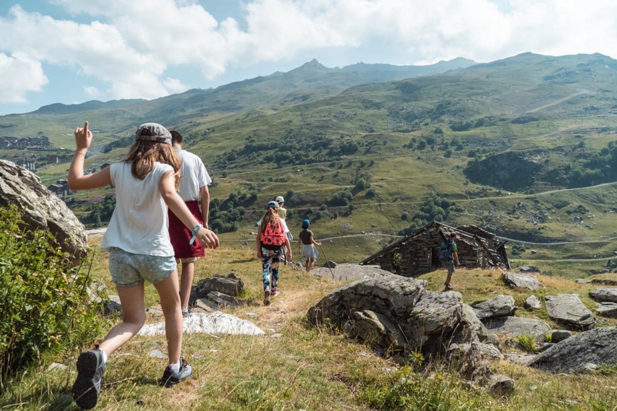
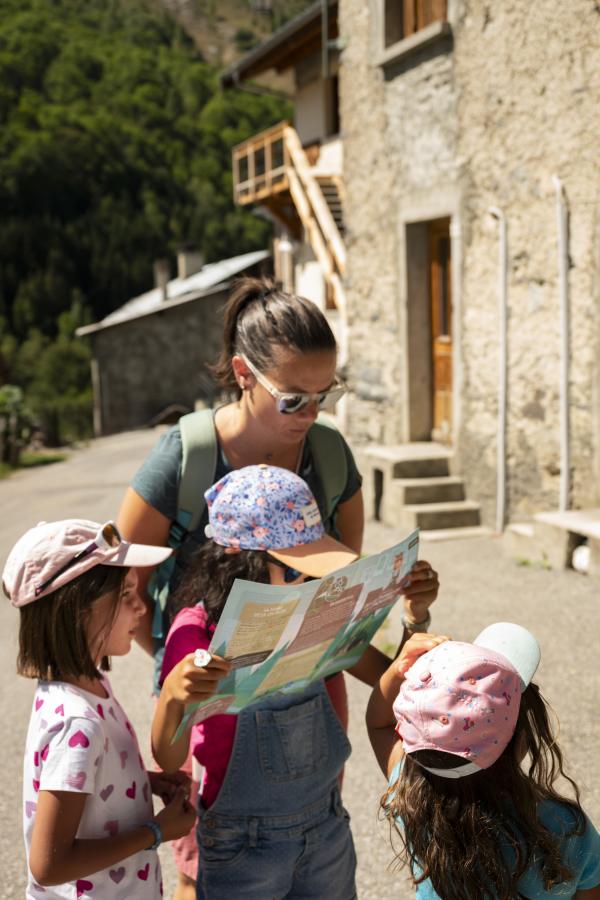
Looking for inspiration to prepare for your summer holiday in Savoie? We've selected 5 gems for you, 5 hiking routes in the most beautiful and wildest corners of the Vallée des Belleville. Take a closer look at our natural surroundings, lakes and heritage.
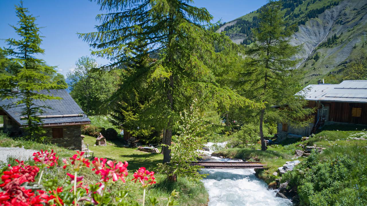
😉❤️ The best kept secret: the Vallée des Encombres
The little-known and extremely beautiful Planlebon hike is a great way to start. Only insiders know about this heavenly little spot that feels like the edge of the world. After passing Le Châtelard you'll follow a small, little-used road to reach a valley which has been shaped by time. The Gittamelon refuge with its amazing decor invites you to take a break.
How to get there: park at Les Frachettes Route 28 on the IGN map. 3-hour round trip (8.5 km and 550m elevation gain).
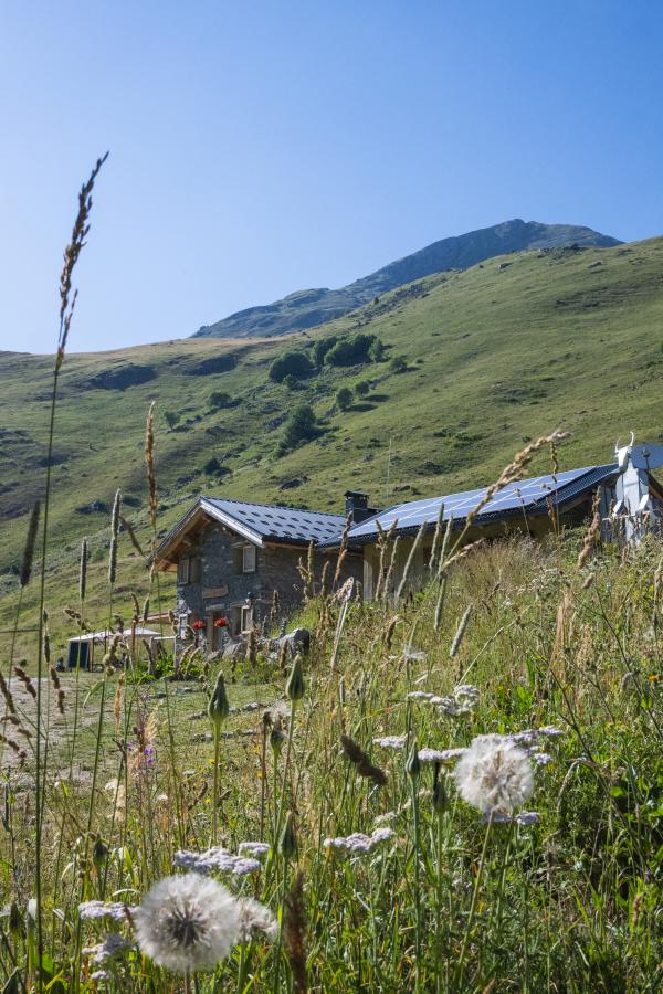
💪 The most energetic: the Cheval Noir
This is the perfect route for hikers who enjoy a challenge and physical performance. This fairly difficult hike offers a chance to push your boundaries while enjoying the incredible setting of the Vallée de Deux-Nants. You'll see the picturesque hamlet of La Cause as you start out and, along the way, a break at the Refuge de Plan Lombardie will allow you to gather your energy before the big climb. When you arrive at the top of Cheval Noir you'll be rewarded by a stunning view.
How to get there: La Sauce via Saint-Jean-de-Belleville. Route 31 on the IGN map. 9-hour round trip (14 km and 1,205m elevation gain).
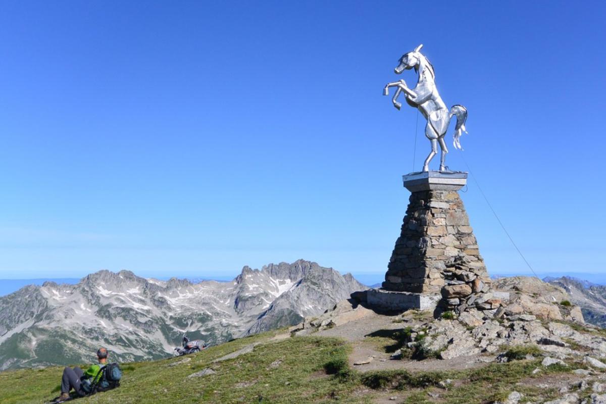
🤩🔥 The most iconic: Le Cochet
Overlooking Saint-Martin from its 2,000m elevation, Le Cochet is a popular spot for a sporty hike departing from the village. This hike requires some effort, but the reward is well worth it: a breathtaking view over the village of Saint-Martin-de-Belleville and its surroundings, with wooded areas, scree and steep slopes. Beautiful!
How to get there: Barrage de Saint-Marcel. Route 29 on the IGN map. 4½-hour round trip (10.5 km and 700m elevation gain).
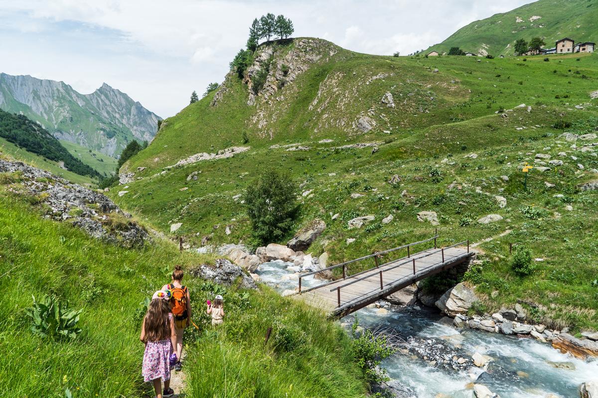
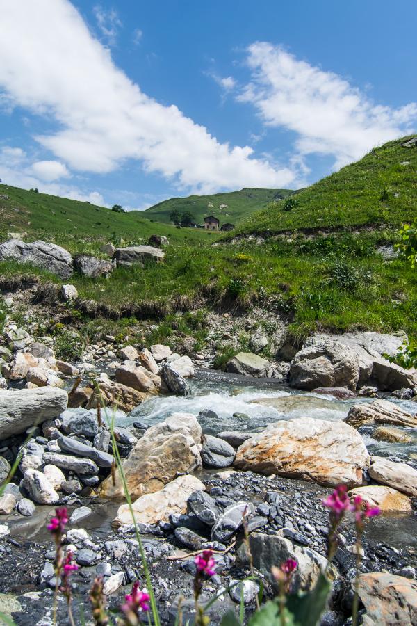
👍 The most accessible: the Lac du Lou
Here's a lovely walk to do as a family, in a little unspoilt valley. There isn't too much uphill walking and, when you arrive, you can enjoy a paddle in the famous lake with crystal-clear water ;) And if you still have energy to spare, you can even go a little higher to see the Lac de Pierre Blanche.
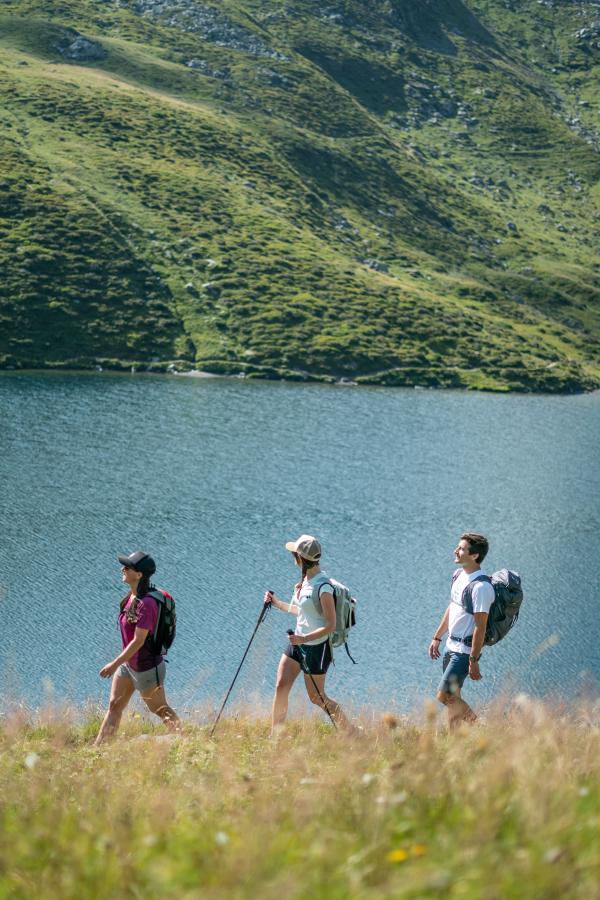
How to get there: park at Plan de l'Eau Route 12 on the IGN map. 4-hour round trip, including a path around the lake (6 km and 370m elevation gain).
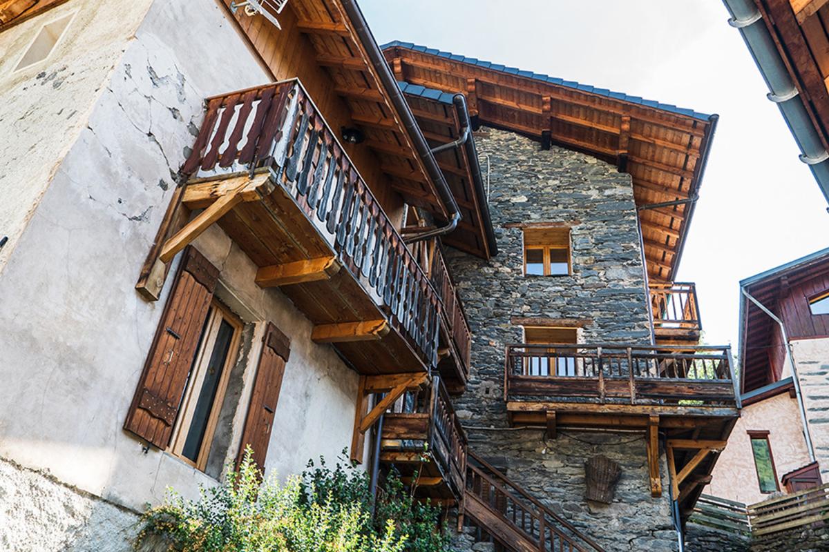
✨ The most traditional: the villages route
If you're into heritage features and beautiful stone, you'll love the villages hike! Departing from Saint-Martin, this trail takes you along the old path that linked the villages of Villarbon, Villarenger and Le Châtelard before the main road was built over a hundred years ago.
How to get there: Downstream approach to Saint-Martin. Route 16 bis on the IGN map (the long version is route 16). 2½-hour round trip (5.5 km and 310m elevation gain).