VTTAE2 - Les Belleville
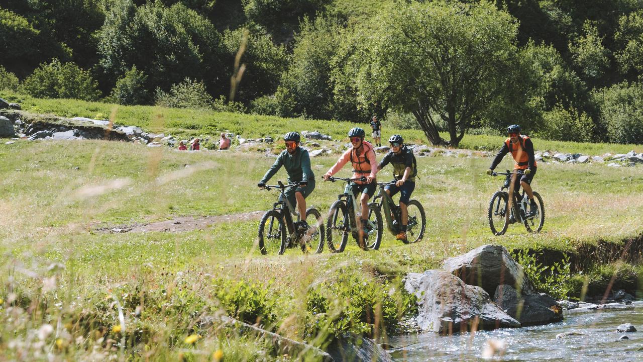
Starting out from Saint-Martin-de-Belleville, small streams, hamlets, water mills and rivers mark out your route. For those who love a stroll, the Plan de l'Eau des Bruyères is ideal for a picnic in the fresh air.
📋 Route details
| Difficulty | Easy |
|---|---|
| Beaconing | Les Belleville |
| Departure point | Le Cochet car park in Saint-Martin-de-Belleville |
| Distance | 25.9 km |
| Ascending elevation gain | 740 m |
| Negative elevation gain | 740 m |
| Map and GPX | See the website |
Mountain bike excursions / VTTAE2 - Les Belleville