The Cochet hike
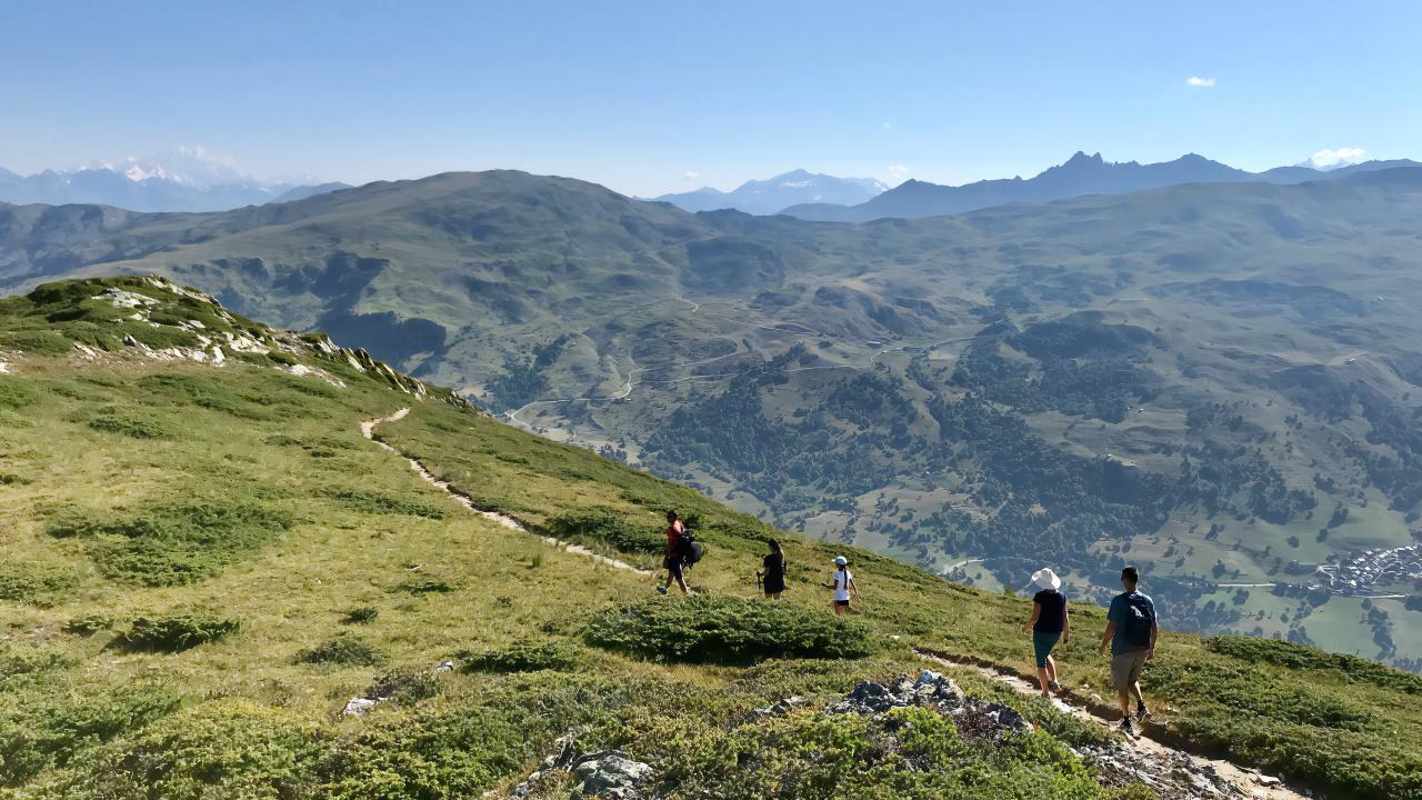
After a section through trees, the trail crosses a scree with a fairly steep climb. From the top, there is a splendid view of Saint-Martin-de-Belleville and its hamlets.
📋 Route details
| Difficulty | Very difficult |
|---|---|
| Beaconing | 29 |
| Departure point | Hamlet of Châtelard |
| Duration | 04:30 |
| Distance | 10.5 km |
| Ascending elevation gain | 848 m |
| Negative elevation gain | 849 m |
| Min. altitude | 1360 m |
| Max. altitude | 2135 m |
Walking trails / The Cochet hike